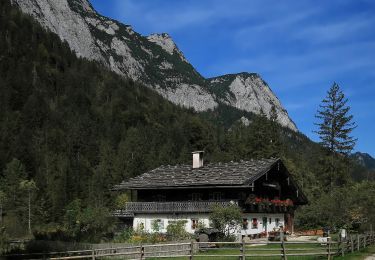
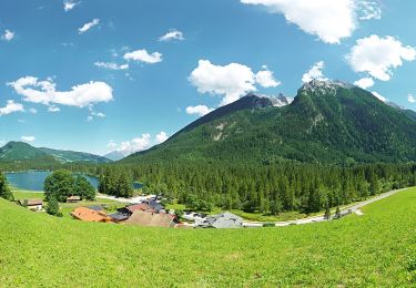
3,2 km | 4 km-effort
Ramsau-Koningssee-24 km
ErikC
Utilisateur
Longueur
24 km
Altitude max
1056 m
Dénivelé positif
933 m
Km-Effort
37 km
Altitude min
602 m
Dénivelé négatif
1114 m
Boucle
Non
Date de création :
2022-08-09 21:15:37.0
Dernière modification :
2022-08-09 21:15:39.573
Application GPS de randonnée GRATUITE
À propos
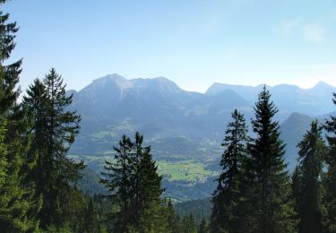
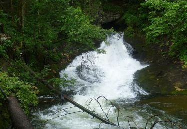
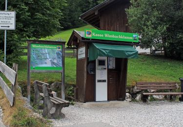
Randonnée de 24 km à découvrir à Bavière, Landkreis Berchtesgadener Land, Ramsau bei Berchtesgaden. Cette randonnée est proposée par ErikC.
Localisation
Pays :
Allemagne
Région :
Bavière
Département/Province :
Landkreis Berchtesgadener Land
Commune :
Ramsau bei Berchtesgaden
Localité :
Unknown
Départ:(Dec)
Départ:(UTM)
341097 ; 5275426 (33T) N.
Commentaires
Randonnées à proximité
Wanderweg 71 (Rund um den Taubensee)
A pied
Facile
Ramsau bei Berchtesgaden,
Bavière,
Landkreis Berchtesgadener Land,
Allemagne
55min
Oui
Wanderweg 70 (Rund um den Toten Mann)
A pied
Facile
Ramsau bei Berchtesgaden,
Bavière,
Landkreis Berchtesgadener Land,
Allemagne
12,4 km | 18,2 km-effort
4h 7min
Oui
Almerlebnispfad
A pied
Moyen
Ramsau bei Berchtesgaden,
Bavière,
Landkreis Berchtesgadener Land,
Allemagne
11 km | 20 km-effort
4h 36min
Oui
Wanderweg 67
A pied
Facile
Ramsau bei Berchtesgaden,
Bavière,
Landkreis Berchtesgadener Land,
Allemagne
6,4 km | 14 km-effort
3h 11min
Non
Wanderweg 66
A pied
Facile
Ramsau bei Berchtesgaden,
Bavière,
Landkreis Berchtesgadener Land,
Allemagne
5,2 km | 12,3 km-effort
2h 47min
Non
Wanderweg 72 (König-Max-Weg)
A pied
Facile
Ramsau bei Berchtesgaden,
Bavière,
Landkreis Berchtesgadener Land,
Allemagne
6 km | 7,7 km-effort
1h 44min
Non
Wanderweg 64
A pied
Facile
Ramsau bei Berchtesgaden,
Bavière,
Landkreis Berchtesgadener Land,
Allemagne
4,3 km | 6,5 km-effort
1h 28min
Non
Wanderweg 63
A pied
Facile
Ramsau bei Berchtesgaden,
Bavière,
Landkreis Berchtesgadener Land,
Allemagne
6,4 km | 12,2 km-effort
2h 46min
Oui
Wanderweg 59
A pied
Facile
Ramsau bei Berchtesgaden,
Bavière,
Landkreis Berchtesgadener Land,
Allemagne
6,9 km | 9,6 km-effort
2h 10min
Non